EXPLORE
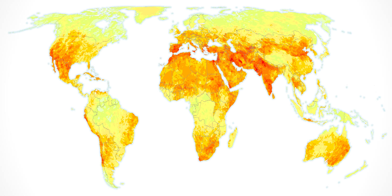
This section contains an array of maps of current and future water risks, country profiles information and methodology documentation

FEATURES

SCENARIOS MAPS
Explore how different water risks will evolve by 2030 and 2050 under different climate and socio-economic pathway-based scenarios

COUNTRY PROFILES
View, download and compare national and sub-national level water risks faced today and in the future under different scenarios at global level
NEED SOME HELP?
Please make sure to first check our Tutorial page, all FAQs and the Data & Methods. If you still need help, don’t hesitate to contact us.
WANT TO PARTNER WITH WWF?
We at WWF are happy to partner with companies and financial institutions willing to engage in market transformation. If you are interested to work with us, please get in touch.
FAQs
Yes, the WWF Risk Filter Team can provide support, ranging from advice on the use of the tool to more tailored expert support for partners.
By partnering with WWF, we can support your organization in better understanding your water risks, provide guidance for your water stewardship strategy and targets and help you implement on-the-ground actions. If you are interested in our tailored expert support, please get in touch.
For basic support, please make sure to first check our tutorial page. If you still need help, don’t hesitate to contact us.
The WWF Water Risk Filter framework follows a three-level hierarchy:
- 3 risk types: physical, regulatory and reputation risk types.
- 12 risk categories: each risk type is informed by risk categories.
- 42 indicators: multiple indicators inform the different risk categories.
The 42 indicators are based predominantly on freely available external, peer-reviewed datasets. These indicators are reviewed and updated (either with new data or with a new indicator) biennially, drawing upon the latest research and best available data.
For more information, please check the latest methodology documentation available on the Data & Methods page.
The WWF Water Risk Filter scenarios are based on the combination of the most relevant climate scenarios (IPCC Representative Concentration Pathways – RCP) and socio-economic scenarios (IIASA Shared Socioeconomic Pathways – SSP). Accordingly, WWF Water Risk Filter scenarios for 2030 and 2050 contain three different pathways:
- Optimistic: RCP2.6 - 4.5 & SSP1
- Current trend: RCP4.5 - 6.0 & SSP2
- Pessimistic: RCP6.0 - 8.5 & SSP3
To develop scenarios of water risks, WWF collaborated with multiple research groups to integrate the best available projected datasets on different water risk aspects. Each scenario is derived from the WWF Water Risk Filter basin risk data in the year 2020 (baseline), added with projected changes from the best available projected dataset.
For more information, please check the latest methodology documentation available on the Data & Methods page.
The local and regional datasets were removed in the WWF Water Risk Filter version 2.0 because they no longer aligned with the updates and enhancements introduced in version 2.0. We have switched to more up-to-date and reliable data sources to improve accuracy and performance and to ensure better alignment with international frameworks. Although the local datasets are no longer available, you can still do global risk assessments with the most current and relevant data for your portfolio.
You can download in excel format the WWF Water Risk Filter basin risk scores and ranking at a national and sub-national level on the Country Profiles page.
We are currently in the process of exploring the development of API services to be able to share our data directly with other web platforms. If you are interested in getting access to our future API service, please get in touch.


